
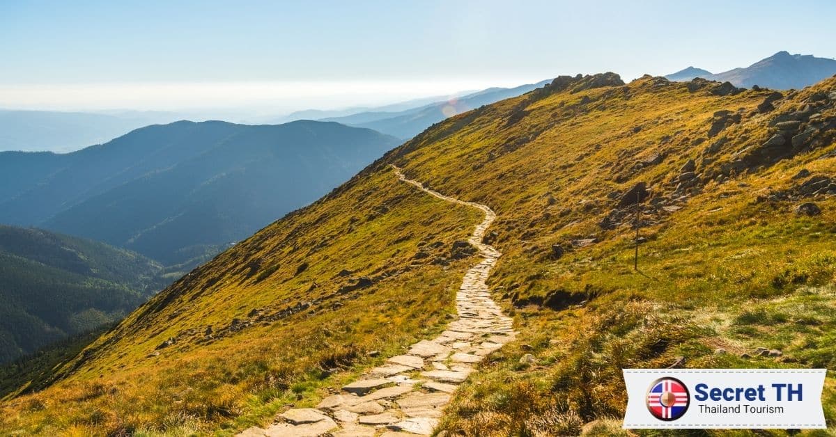
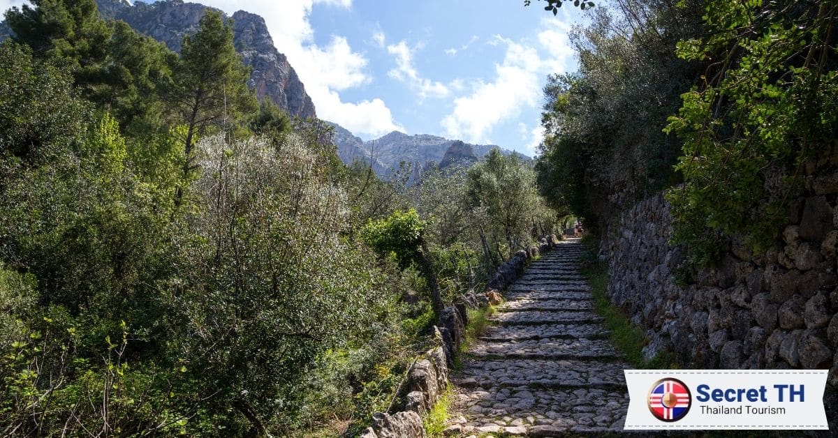
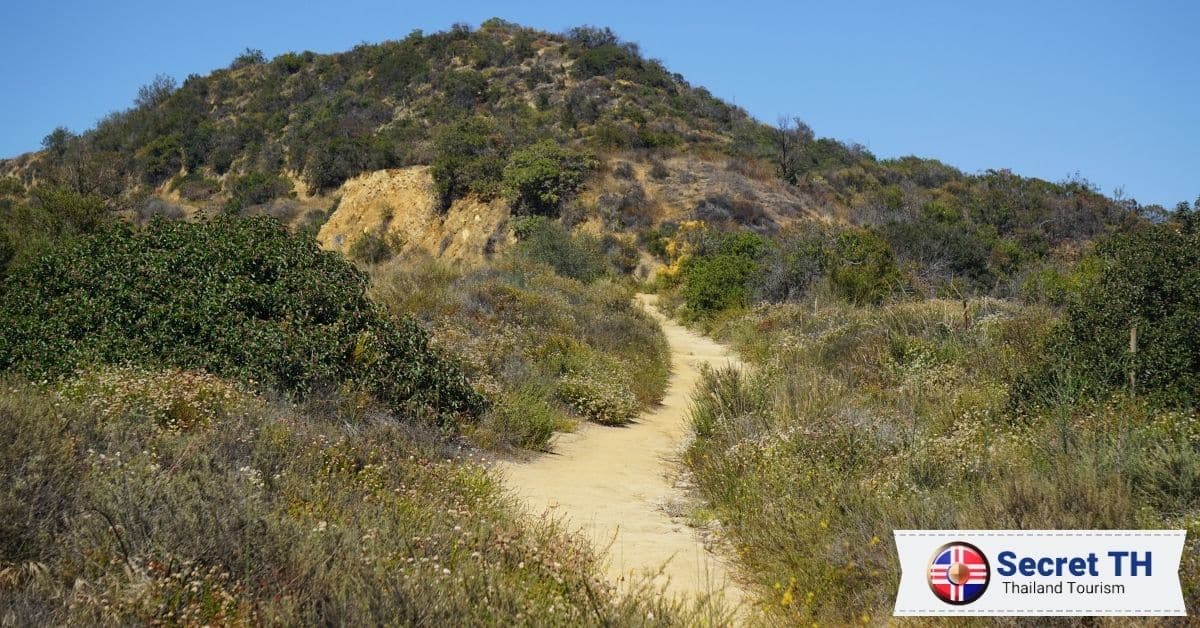
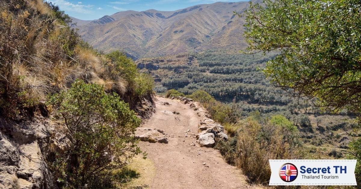
In the land of smiles, Thailand, there is more to discover beyond the vibrant city life and pristine beaches. The country is a treasure trove for hiking enthusiasts, boasting an array of trail options that traverse through its diverse landscapes. From rugged mountain terrain to lush jungle paths, Thailand is home to some of the most breathtaking and adventurous trails in Southeast Asia.
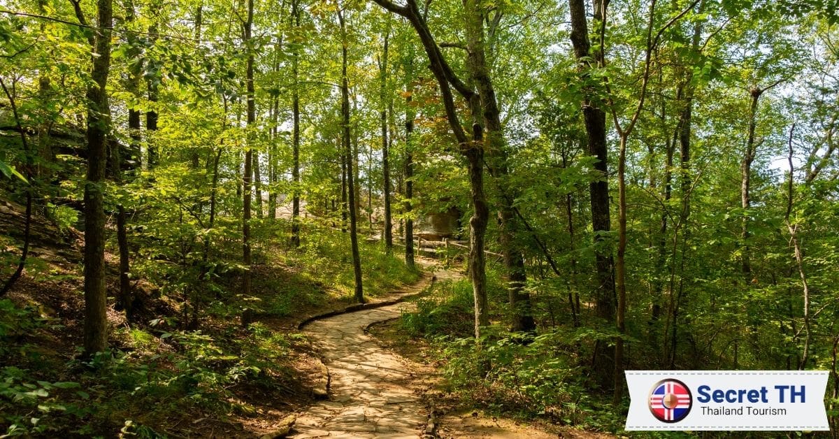
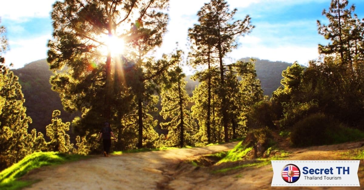
We’ll be exploring the most scenic and invigorating trails that this Southeast Asian paradise has to offer. Whether you’re a seasoned trekker seeking your next challenge, or a nature-loving traveler yearning for some breathtaking landscapes, there’s a Thai trail that’s perfect for you. So lace up your hiking boots, pack your sense of adventure, and come join us as we take you on a virtual tour of the top 17 trails for hiking in Thailand.
1. Doi Ang Khang (จุดชมวิวม่อนสน)
Doi Ang Khang, often hailed as “Little Switzerland”, is nestled in the mountainous terrain of Northern Thailand. Offering a truly scenic hiking experience, the trail winds through lush forests, vibrant flower gardens, and scenic orchards. The trail’s elevation provides hikers with breathtaking panoramic views and a cool, refreshing climate.
The 3-hour journey is moderately challenging, making it perfect for both beginners and experienced hikers. Along the way, you may encounter local hill tribes, adding a cultural component to this enriching outdoor adventure. By the end, you’ll understand why Doi Ang Khang is considered a hidden gem of Thailand.
Address: Doi Ang Khang, Amphoe Fang, Chiang Mai
Difficulty Level: 1/10
Getting there: Doi Ang Khang is about 3 hours from either Chiang Mai or Chiang Rai. Take Route 107 then turn onto Route 1249. This is a winding hill that ascends at a steep grade. At the end of it, you’ll find Doi Ang Khang. (Coordinates: 19.862429, 99.051563)
Entrance fees: USD $1.44 / approx. 50 Baht
2. Khao Luang Mountain Sukhothai (เขาหลวง)
Khao Luang Mountain Sukhothai, or simply Khao Luang, is a nature lover’s paradise. Located in the heart of Sukhothai, this mountain offers a challenging yet rewarding hike. Surrounded by a dense tropical forest, the trail is adorned with fascinating wildlife and diverse flora. The summit rewards with spectacular views of the ancient city and the surrounding countryside.
Historical remnants such as Buddha statues and pagodas add a unique twist to this hike, intertwining nature with history. With a moderate difficulty level, Khao Luang caters to a wide range of hikers. Experience the tranquility of this mountain, a testament to Thailand’s natural beauty.
Address: Na Choeng Khiri, Khiri Mat District, Sukhothai 64160, Thailand
Contact: +66 86 895 6388
Difficulty Level: 6/10
Getting there: From Sukhothai, take Route 1272 south. After 15 kilometers turn right at the signs for the national park. You should reach the park headquarters and the trailhead after about 15 kilometers. (Coordinates: 16.866739, 99.653333)
Entrance fees: USD $5.80 / approx. 200 Baht (for foreigners)
3. Mount Mokoju (ยอดเขาโมโกจู)
Mount Mokoju, often referred to as the “Roof of Mae Wong,” is an epitome of raw, untouched beauty. Situated in Mae Wong National Park, this rugged peak offers a challenging, yet rewarding, hiking experience. The trail weaves through diverse landscapes, including dense forests, gushing streams, and open grasslands, culminating in a summit that provides unobstructed views of the park’s sprawling wilderness.
The hike is steep and lengthy, making it ideal for seasoned hikers seeking an adventure. Occasionally, hikers may spot rare wildlife, making every step on this trail a thrilling experience.
Address: Mae Wong National Park, Nakhon Sawan, Thailand
Difficulty Level: 9/10
Getting there: From Bangkok, you can either drive or take a bus to Nakhon Sawan. From there, Mae Wong National Park is roughly a 2-hour drive. (Coordinates: 15.813198, 99.148113)
Entrance fees: USD $5.80 / approx. 200 Baht (for foreigners)

4. Khao Lom Muak (เขาล้อมหมวก)
Khao Lom Muak, prominently known as “Sky City”, is a hiker’s delight located in Prachuap Khiri Khan Province. The trail offers a mix of nature’s beauty and military history, as it resides within an Air Force base. The ascent, though steep and challenging, is rewarded with an unrivaled view of the Gulf of Thailand. This trail is not for the faint-hearted, but thrill-seekers will surely enjoy the exciting climb, aided by ropes in the steeper sections. The unique mix of adventure and breathtaking views make Khao Lom Muak a must-try experience.
Address: North Horn Ko Lak, Mueang Prachuap Khiri Khan District, Prachuap Khiri Khan 77000, Thailand
Difficulty Level: 7/10
Getting there: Take the train to Prachuap Khiri Khan and catch a moto-taxi toward Ao Manao Beach in order to reach the Wing 5 Base. Alternatively, rent a bicycle and cycle yourself there. The hike starts at the bottom of the mountain within the base. (Coordinates: 11.785042, 99.816116)
Entrance fees: Free entry
5. Doi Pha Phueng (ดอยผาผึ้ง บ้านมณีพฤกษ์ อ.ทุ่งช้าง จ.น่าน)
Doi Pha Phueng, also known as “The Honey Cliff”, is a serene hike located in Nan Province. The trail, known for its rich biodiversity and beautiful wildflowers, provides hikers with a peaceful experience in nature. It’s a less strenuous hike, making it perfect for families and those seeking a relaxing outdoor adventure. The modest peak offers a beautiful panorama of surrounding forests and mountains. Its isolation from tourist trails ensures a peaceful, authentic experience of Thailand’s untouched beauty.
Address: Mani Phruek 3 Village, Nan, Thailand
Phone: +66 8 1602 2731
Difficulty Level: 2/10
Getting there: From anywhere in Nan Province, take Highway 101. Then turn right onto Highway 1291 before turning onto Highway 4017, which is the route to Mani Phruek Village. Keep in mind that this road can be rough; therefore it is recommended to use a 4-wheel drive vehicle. (Coordinates: 19.058837, 100.954090)
Entrance fees: Free entry
6. Wat Khao Chom Thong (วัดเขาจอมทอง)
Wat Khao Chom Thong, situated in Chiang Rai, provides a spiritual twist to the hiking experience. It’s not steep, making it ideal for all hiking levels. As the trail ascends, you’ll encounter beautiful temple structures and Buddha statues. The summit, adorned with a beautiful Pagoda, offers panoramic views of Chiang Rai. It’s a perfect blend of spirituality, culture, and nature, offering a unique hiking experience.
Address: Khon Buri Tai, Khon Buri District, Nakhon Ratchasima 30250, Thailand
Difficulty Level: 5/10
Getting there: Coordinates: 14.459173, 102.104051
Entrance fees: Free entry
7. Phu Chi Fa (ภูชี้ฟ้า)
Phu Chi Fa, or “Sky Pointing Peak”, is a captivating hiking destination in Northern Thailand. Known for its iconic dawn views, this peak offers breathtaking panoramas of valleys shrouded in morning mist. The hike, although steep, is manageable for most fitness levels. On the journey, hikers traverse through lush forests teeming with wildlife before reaching the summit. Atop, the sunrise view is mesmerizing, as the sky paints itself in hues of orange and pink. For those seeking a unique blend of adventure and tranquility, Phu Chi Fa is a must-visit.
Address: 57310 Tambon Tap Tao, Amphoe Thoeng, Chang Wat Chiang Rai 57310, Thailand
Phone: +66 53 795 345
Difficulty Level: 3/10
Getting there: To get to Phu Chi Fa, you’ll either need to hire a private driver from Chiang Rai or take one of the public buses. Alternatively, you can drive yourself. The town and base camp sits on Route 1093. From town, it’s a dark songthaew ride to the start of the hike. (Coordinates: 19.850596, 100.453224)
Entrance fees: Free entry
8. Doi Pha Tang (ดอยผาตั้ง)
Doi Pha Tang, known as “Stunning Cliff,” is a gem in the wilderness of Chiang Rai. A relatively easy trek, it offers scenic routes through diverse landscapes and minority villages. At the summit, hikers are rewarded with panoramic views of both Thailand and Laos, with the Mekong River flowing in between. This tranquil spot, famous for its unique sea of fog, and sunrise, and sunset views, is perfect for those seeking a peaceful retreat in nature’s embrace.
Address: Po Subdistrict, Wiang Kaen 57310, Thailand
Difficulty Level: 3/10
Getting there: From Chiang Rai take Route 120 to the Mae Korn intersection. Turn left onto Route 121. In Thoeng, turn left onto Route 1155. After 25 kilometers, turn onto Route 1093. The entrance to Doi Pha Tang will appear after another 25 kilometers. (Coordinates: 19.931118, 100.519395)
Entrance fees: Free entry
9. Khao Daeng Viewpoint (เขาแดง)
Khao Daeng Viewpoint, located in Sam Roi Yot National Park, is a delightful hiking trail for bird watchers and nature enthusiasts. With a moderate climb and panoramic views of limestone mountains, the Gulf of Thailand, and marshlands, the experience is unforgettably beautiful. The trail also boasts of forest wildlife and a diverse ecosystem, offering a unique charm. Ideal for a half-day adventure, Khao Daeng Viewpoint promises an enriching and invigorating escape.
Address: Khao Sam Roi Yot National Park, Tambon Khao Daeng, Amphoe Kui Buri, Chang Wat Prachuap Khiri Khan 77150, Thailand
Phone: +66 99 230 5254
Difficulty Level: 5/10
Getting there: The best ways to reach Khao Sam Roi Yot National Park are by taxi or scooter. You can hire a taxi either in Bangkok or Hua Hin for a day trip. Alternatively, rent a scooter or car and take Route 4 to Pran Buri. Then turn left on Route 3168 and drive 5km. From there, turn left on Route 1020 and drive another 32km to the park entrance. (Coordinates: 12.132238, 99.958617)
Entrance fees: USD $5.80 / approx. 200 Baht (for foreigners)
10. Khao Chang Phueak, Pha Phum National Park (เขาช้างเผือก)
Khao Chang Phueak, or “White Elephant Mountain”, is a captivating hike located in Pha Phum National Park. Known for its rugged beauty, this trail offers a thrilling climb, leading to panoramic views of Thailand’s lush wilderness. Despite its challenging nature, the hike rewards with sightings of rare wildlife and unique flora. The peak allows hikers to witness stunning sunsets, making every step worth it. Ideal for experienced hikers seeking adventure, Khao Chang Phueak is an unforgettable journey into Thailand’s natural splendor.
Address: Pilok, Thong Pha Phum District, Kanchanaburi 71180, Thailand
Phone: +66 81 382 0359
Difficulty Level: 7/10
Getting there: The starting point for the hike is behind Etong Village, inside Pha Phum National Park. Journey time by car from Bangkok is about 5-6 hours. (Coordinates: 14.726976, 98.388600)
Entrance fees: USD $5.80 / approx. 200 Baht (for foreigners)
11. Phu Thap Boek Mountain (ภูทับเบิก)
Phu Thap Boek Mountain, situated in Phetchabun Province, offers a tranquil hiking experience. The trail, renowned for its lush farmlands and morning fog, gives hikers a surreal journey into nature’s beauty. The ascent is gentle and suitable for all hiking levels. The summit treats visitors to panoramic views of verdant landscapes and sunrise hues skimming across the morning mist. Especially popular among Thai tourists, Phu Thap Boek is an undiscovered gem waiting for international hikers.
Address: Mu 14, Wang Ban, Lom Kao, Phetchaboon 67120 Thailand
Phone: +6656709026
Difficulty Level: 1/10
Getting there: Take the bus to Lom Kao Station then hire a minivan or taxi to take you to the top of Phu Thap Boek Mountain. The drive should take between 45 minutes and 2 hours depending on the road and weather conditions. (Coordinates: 16.906451, 101.087233)
Entrance fees: Free entry
12. Wat Chaloem Phra Kiat Phrachomklao Rachanusorn, Lampang
Wat Chaloem Phra Kiat Phrachomklao Rachanusorn, often referred to as “The Floating Pagodas”, is a mesmerizing hiking trail located in Lampang. This sacred site, perched high above the clouds, offers a spiritual journey through a sea of mist and stunning mountainous views. Despite a steep climb, the surreal setting and unique pagodas make this hike a worthwhile endeavor. The trail perfectly combines spirituality, adventure, and nature, ensuring hikers an unforgettable experience amidst Thailand’s unspoiled beauty.
Address: Mueang Pan, Mueang Pan District, Lampang 52240, Thailand
Difficulty Level: 4/10
Getting there: Coordinates: It’s a 3-hour drive from Chiang Mai. Otherwise, the easiest option is to take a domestic flight to Lampang Airport and then take a local bus or shuttle into Chaehom. From here you will need to hire a tuk-tuk or taxi to take you to the temple’s ground level.
Entrance fees: Entrance to the first level is free. It will cost USD $2.80 / approx. 100 Baht for a round-trip tuk-tuk ride from the first to the second level. There is no transportation provided between the second and third levels; you will need to climb on your own.
13. Kew Mae Pan, Chiang Mai (กิ่วแม่ปาน จังหวัดเชียงใหม่)
Kew Mae Pan, situated in Doi Inthanon National Park, Chiang Mai, offers a serene hiking experience along nature’s diverse path. This eco-tourism trail winds through evergreen forests, past cascading waterfalls, and vibrant rhododendron blooms, ending with breathtaking views of the highest peak in Thailand. A guided trail, Kew Mae Pan combines the thrill of hiking with the calm of nature for a truly enriching experience.
Address: Ban Luang, Chom Thong District, Chang Wat Chiang Mai 50160, Thailand
Phone: 053 286 729 (Visitor Center)
Opening Hours: Monday – Sunday (6 AM – 4 PM)
Difficulty Level: 5/10
Getting there: Fly to Chiang Mai International Airport and rent a car. Take the 2-hour drive to the West (towards Doi Inthanon National Park). From the airport, follow ถนนเลี่ยงเมืองสันป่าตองหางดง, Route 108 and Route 1009 to ซอย 1009 in ตำบล บ้านหลวง for almost 2 hrs and continue onto ซอย 1009. The destination will be 4 minutes away on the left.
Entrance fees: You’ll have to pay to enter Doi Inthanon National Park. USD $8.50 / 300 Baht (for foreigners), USD $4.20 / 150 Baht (for children); USD $1.40/50 Baht (for locals), USD $0.60/20 Baht (for local children). For the Nature Trail, you will require a local guide which will cost USD $7 / 200 Baht for a group of 10.
14. Hang Nak Mountain Nature Trail
Hang Nak Mountain Nature Trail, located in Krabi, offers an invigorating hike through lush forests up to a dramatic cliff with stunning panoramic views of the Andaman Sea. The trail, known for its diverse flora and fauna, is a challenging but rewarding adventure.
As you ascend, you’ll come across hidden waterfalls and unique limestone formations. The peak treats hikers with a bird’s-eye view of the surrounding islands and crystal-clear waters. For adventure seekers looking for an off-the-beaten-path experience, Hang Nak Mountain Nature Trail is a perfect choice.
Address: Nong Thale, Mueang Krabi District, Krabi 81000, Thailand
Difficulty Level: 6/10
Getting there: The nearest airport is Krabi International. From there you can hire a taxi which will take around 50 minutes. If you are staying near Ao Nang, the journey is around half an hour. To get there on your own motorbike, take the coastal 6042 to its completion on the west coast where you will find the parking area. (Coordinates: 8.099169, 98.748394)
Entrance fees: Free entry
15. Doi Chang Cliffs (ดอยช้างผาด่าน)
Doi Chang Cliffs, located in Mae Suai, Chiang Rai, is an exhilarating hiking destination. The trail, noted for its immense tea plantations and panoramic mountain views, provides a refreshing journey into nature’s splendor. Despite the somewhat steep climb, the summit gifts hikers with a stunning view of the surrounding tea fields, making every step worthwhile. With diverse flora and fauna, Doi Chang Cliffs is ideal for those seeking a blend of natural beauty and adventure.
Address: Tambon Suan Khuean, Amphoe Mueang Phrae, Chang Wat Phrae 54000, Thailand
Difficulty Level: 8/10
Getting there: The Doi Chang Cliffs are located in Muang District of Phrae Province. To reach the trek, it’s best to hire a local guide if you are unfamiliar with the area. Otherwise, point your motorbike in the direction of the coordinates to find the starting point. (Coordinates: 18.110974, 100.297984)
Entrance fees: Free entry
16. Khao No
Khao No, located in Nakhon Sawan, is a delightful hiking trail for nature lovers. The trail traverses through lush verdant settings, leading hikers to a stunning viewpoint offering panoramic vistas of the surrounding landscapes. With a moderate difficulty level, it’s a suitable adventure for hikers of all skill levels. The trail’s tranquility, coupled with its natural beauty, make for a relaxing retreat into nature’s embrace.
Address: หมู่ 2, ตําบลบ้านแดน อําเภอบรรพตพิสัย จังหวัดนครสวรรค์, 60180 Tambon Ban Daen, Amphoe Banphot Phisai, Chang Wat Nakhon Sawan 60180, Thailand
Difficulty Level: 6/10
Getting there: From Bangkok’s Don Mueang Airport, you’ll need to drive approximately 2h 40 minutes to reach Nakhon Sawan. From there, it’s another 40-minute drive to reach the start of the hiking trail.
Opening Hours: Monday – Sunday (8 AM – 5 PM)
17. Kaeng Krachan National Park
Kaeng Krachan National Park, situated in Phetchaburi, is an idyllic hiking destination. The park, Thailand’s largest, boasts diverse wildlife, waterfalls, and a reservoir. The trail takes hikers through lush forests rich with flora and fauna, leading to panoramic viewpoints that overlook the park and beyond. Despite its challenging terrain, the experience is rewarding, granting unparalleled views of sunrise and sunset over the misty valleys. This combination of adventure and natural beauty offers a unique hiking experience.
Address: Kaeng Krachan, Kaeng Krachan District, Phetchaburi 76170, Thailand
Opening Hours: Monday – Sunday (6 AM – 6 PM)
Phone: +66 32 772 311
Entrance fees: 300 Baht for foreign adults, 200 for foreign children. For Thais, the price is 100 for adults and 20 for children. There is a 30 Baht fee for the car.
Conclusion
In conclusion, Thailand is a paradise for nature lovers and adventurers. The vast array of hiking trails, from the tranquil Phu Thap Boek Mountain to the challenging terrain of Kaeng Krachan National Park, offers opportunities for hikers of all levels. Whether you’re seeking spiritual solace at the “Floating Pagodas” of Wat Chaloem or looking to immerse yourself in the lush farmlands and morning fog of Phu Thap Boek, there’s a trail for everyone.
The rich flora and fauna, panoramic views, and unique geographical features make each hike a unique journey into the heart of Thailand’s unspoiled beauty. So, put on your hiking boots, and discover what these trails have in store for you.